基于遥感影像的恩施市土地利用/覆被变化研究
2020-10-21 06:09:53冯鑫宋鄂平
河南科技
2020年2期
冯鑫 宋鄂平
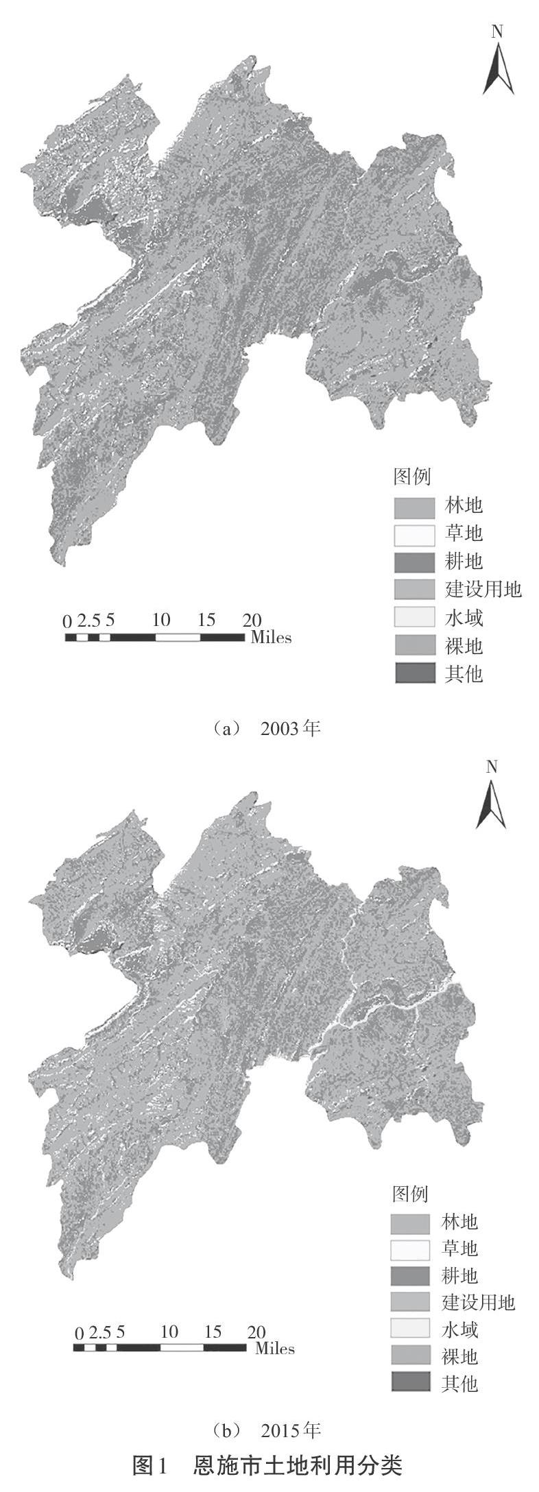
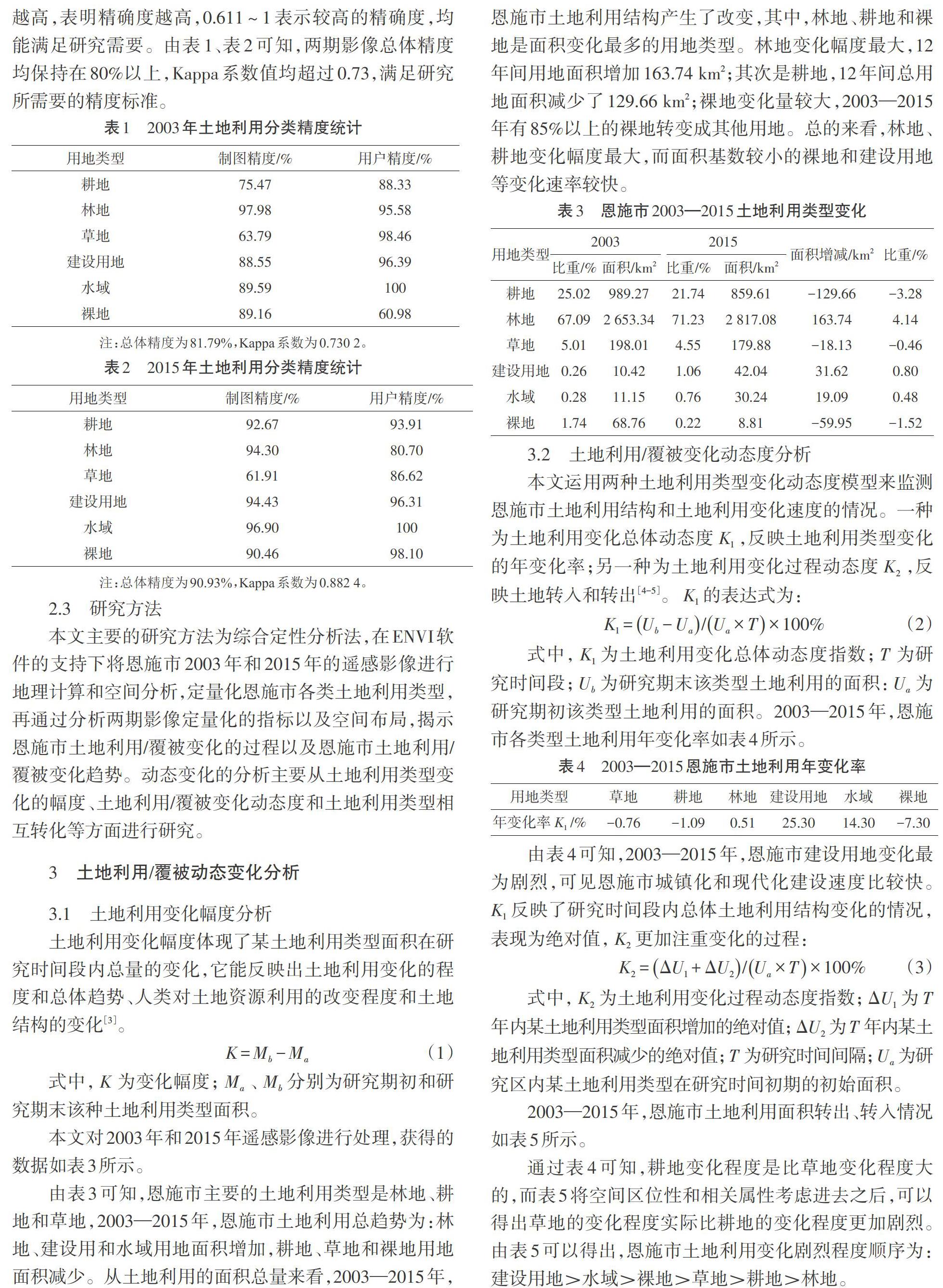

摘 要:以恩施市2003年和2015年的遥感影像为基础,本文利用ENVI5.1将影像分成六大土地利用类型:林地、耕地、草地、建设用地、水域和裸地。同时,采用土地利用/覆被变化幅度、动态度的数学模型和混淆矩阵的分析方法,研究恩施市2003—2015年土地利用/覆被动态变化。结果表明,2003—2015年,恩施市土地利用类型占比最高的为林地和耕地,二者总面积超过恩施市总面积的80%,林地和耕地是土地利用类型变化幅度最大的用地类型;土地利用/覆被变化最剧烈的主要为建设用地、水域和裸地,土地利用变化过程动态度[K2]分别达到28.43%、16.63%和7.74%;土地利用类型相互转化方面,主要是林地和耕地的转化,其次是草地、裸地向建设用地的转化。
关键词:恩施市;遥感影像;ENVI;土地利用/覆被变化;土地利用变化动态度
中图分类号:F301文献标识码:A文章编号:1003-5168(2020)02-0136-04
Abstract: Based on the remote sensing images of Enshi City in 2003 and 2015, this paper used ENVI5.1 to divide the images into six land use types: forest land, cultivated land, grassland, construction land, water area and bare land. At the same time, a dynamic model of land use / cover change amplitude and dynamics and an analysis method of confusion matrix were used to study the dynamic changes of land use / cover in Enshi City from 2003 to 2015. The results show that from 2003 to 2015, the highest proportion of land use types in Enshi City was forest land and cultivated land, with the total area of both exceeding 80% of the total area of Enshi City, forest land and cultivated land were the types of land with the largest changes in land use types; the most drastic changes in land use / cover were construction land, water area and bare land, the dynamic degree of land use change process [K2] reached 28.43%, 16.63% and 7.74%, respectively; in terms of mutual conversion of land use types, the conversion was mainly from forest land and cultivated land, followed by the conversion of grassland and bare land to construction land.
Keywords: Enshi;remote sensing images;ENVI;land use /cover;land use and land cover dynamics
遙感影像在土地利用动态监测方面的应用已成为环境保护的重要手段,本文利用ENVI5.1解译恩施市2003年和2015年的遥感影像,研究从2003年到2015年恩施市土地利用/覆被的动态变化,研究恩施市土地利用/覆被的变化趋势和主要特征。其研究结果将有利于恩施市土地的可持续利用、生态环境建设和经济发展。
1 研究区概况
恩施市位于湖北省最西端,全市总面积为3 972 km2。东边与建始、鹤峰相邻,西与利川、咸丰接壤,北部比邻重庆奉节,南接宣恩。恩施市属于亚热带季风气候,冬暖夏凉,降水充沛。但恩施市内山地地形复杂,海拔高低相差悬殊,相对高差达1 816 m,所以又表现出明显的垂直地域差异。……
登录APP查看全文