ARCGIS软件在第三次国土调查中应用研究
2024-05-21 05:22:35李志良
科技资讯
2024年4期
李志良

摘要:ARCGIS软件是测绘地理信息项目中常用软件。第三次国土调查是作为一项在国情国力方面的调查,其目的是调查清楚全国土地资源利用情况和国土地类现状。为以后诸如国土空间规划、基本农田划定、态文明建设等方面提供基础数据和政策导向。在第三次国土调查中,ARCGIS为内业数据处理提供了强大的技术支撑。ARCGIS软件可对线状地物圖斑化和野外举证数据提前批处理进行详细的研究,在水利、农业、生态、交通、林业、住建等方面都有非常广泛的应用。
关键词:ARCGIS软件 拓扑 国土调查 现状(线状?请确认)地物图斑化
中图分类号:P208
Research on the Application of ARCGIS Software in the Third National Land Resource Survey
LI Zhiliang
Shanxi Coal Geological Geophysical Exploration Surveying & Mapping Institute.Co., Ltd. Jinzhong, Shanxi Province, 030600 China
Abstract: ARCGIS software is commonly used in surveying geographic information projects. The third national land recourse survey was a survey in terms of national conditions and national strength, and its purpose was to investigate and clarify the utilization of land resources and the current situation of land classification in the country, and provide basic data and policy guidance for aspects such as territorial spatial planning, basic farmland demarcation and ecological civilization construction in the future. In the third national land resource survey, ARCGIS provided strong technical support for internal data processing. ARCGIS software can conduct detailed research on the patterning of linear features and the early batch processing of field evidence data, and it has a wide range of applications in water conservancy, agriculture, ecology, transportation, forestry, housing and construction, etc.
Key Words:ARCGIS soft; Topology; Land resource survey; Patterning of linear features
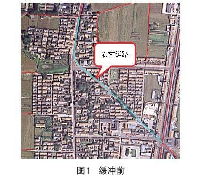
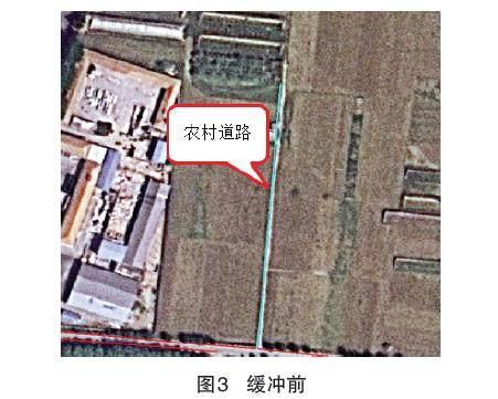
第三次国土调查是一项重大的国情调查,它将查清中华大地每块图斑的地类、面积以及权属。然后,汇总全国耕地、林地、园地、草地等数据,分析近十年地类的变化,为下一步制定政策提供依据。2017 年10 月 16 日,国务院印发《关于开展第三次全国土地调查的通知》,决定自 2017 年起开展第三次全国土地调查。第三次全国国土调查明确规定:取消线状地物以线要素的形式表示,实地宽度超过2m的线状地物,如公路用地、铁路用地、河流水面、沟渠等线状地物,按图斑调查上图并且以图斑的形式表示。本文在此背景下,对线状地物图斑化和野外举证数据提前批处理关键技术进行研究分析。
土地调查是一项重大的国情调查,每十年开展一次,在第二次土地调查完成以后所形成的数据成果有面状、线状和零星地物。在调查形成第三次国土调查数据库之前,国土资源部门及技术单位大都以第二次土地调查数据为基础数据进行数据分析、汇总、决策。……
登录APP查看全文